Day 0 | Diaz Lake
(7/2/16)
I wanted to add an entry for the night before, because it was a pretty stellar sendoff.
We camped out at a really nice campground off the main highway outside of Lone Pine, called Diaz Lake. The lake was quite big and really nice for being out in the high desert, and there were lots of folks out there ripping around on Sea-Doos and enjoying the grounds. We happened to set up camp next to this dude, Jim, which proved to be a stellar bit of luck. Jim had a glamping setup for the books – huge, plush RV, outdoor bar, and toys I don’t even remember. He owns an off-road racing company and a tequila company. Such a rad guy – he invited us to his fire, made us some drinks with his tequila, and we all shared stories. He was really stoked for our adventure to kick off the next day that he gave us 4 mini bottles of tequila to take with us! You’ll see those bad boys later on 🙂


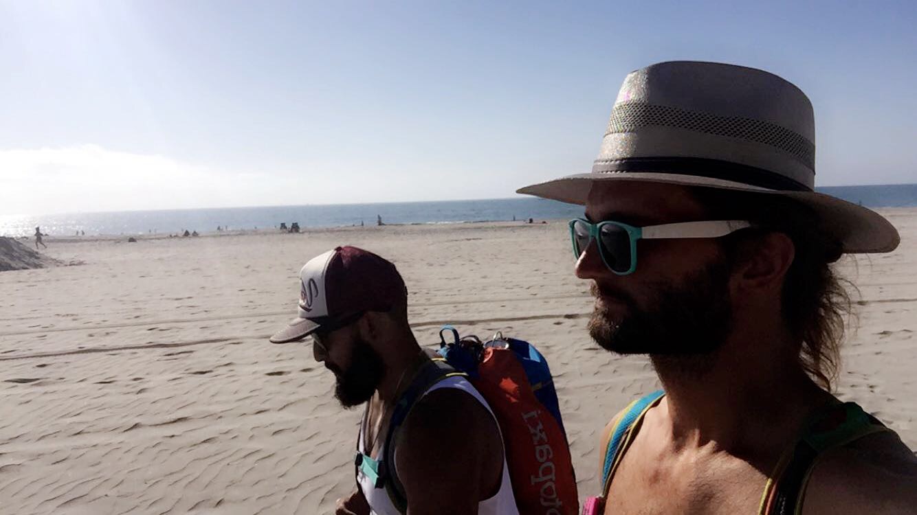
Day 1 | Cottonwood Pass to Chicken Springs Lake
(7/3/16)
Distance Hiked: 4.2 miles
Final Elevation: 11,200 ft. (1,000 ft. gain)
It begins! Twenty straight days in the wilderness. This is going to be wild. A few days ahead of departure I got to thinking, “I’m literally going to be doing the exact same thing for 3 straight weeks – walking, setting up a tent, eating, sleeping, tearing down a tent, walking……multiplied by twenty. days.”
It’s a little dramatic, I know. People do this for many more weeks and months than we did, but still.
So it was a little gnarly of a start! We were beginning around 10,000 ft. (the highest elevation I’d been to by then), we climbed 1000 ft., and my pack was way off fit and quite heavier than I anticipated. So through the day I worked on adjusting the pack and things got better once getting to Chicken Springs Lake, rested, reorganized our packs, and soaked in the beauty.


Day 2 | Chicken Springs Lake to near Rock Creek Ranger Station
(7/4/16) ? ??
Distance Hiked: 8.9 miles
Final Elevation: 10,000 ft. (1,200 ft. loss)
Super stoked that we doubled our mileage from Day 1! With the weight of the pack combined with the miles and elevation changes, my body is definitely feeling it. Great day though!


Day 3 | near Rock Creek Ranger Station to Wallace Creek
(7/5/16)
Distance Hiked: 10.8 miles
Final Elevation: 10,500 ft. (500 ft. gain)
Cute hiker chick. SO. MANY. MOSQUITOS.


Day 4 | Wallace Creek to base of Forester Pass
(7/6/16)
Distance Hiked: 9.3 miles
Final Elevation: 12,490 ft. (1,990 ft. gain)
No video for today, kids. Today was one of those brutal, gnarly days where you don’t quite have the enthusiasm for a video. Just gotta keep your feet moving.
Last night we got pretty swarmed by mosquitos and my dehydrated dinner wouldn’t hydrate. Patriot Pantry Traveler’s Stew – don’t get that shit. So I was tired, pissed, bite-ridden, and hangry.
This is not a good way to start the next day, which was already slated to be intense – our second longest distance so far, and mostly all uphill with our largest elevation gain yet. However, the result was undeniably beautiful. There’s a lesson there, I’m sure.
I made sure to have a super feast for dinner too.


Day 5 | base of Forester Pass to Kearsarge Lake #3
(7/7/16)
Distance Hiked: 10.2 miles
Final Elevation: 10,800 ft. (1,690 ft. loss)
Stellar day today!! Seriously amazing – gorged on dinner last night, slept quite well, good breakfast and lots of water. We must’ve been through five different types of terrain – raw mountains, snow, lush greenery flanking the clearest streams, and so much more.
Immediately climbing an 800 ft. pass right after breakfast was a challenging and wildly rewarding way to start the day – getting the immediate gratification set the tone for the day, not to mention it was crazy gorgeous. We tramped through lots of snow, lots of edge-of-cliff hiking, and the weather was chilly, but warming up.
A quick break at the top of Forester Pass (highest point on the PCT!) brought us to a couple of groups of guys chilling, telling stories. A good 20 minutes of stories were passed around, all of which were about one man. Steve Butcher. Steve is apparently some bear of an older dude who lives in the wilderness out here and there’s so many stories, that I’m just going to summarize some of my favorite highlights in the bullet points below:
- he always has not one, but two loaded bear canisters draped around his neck – this fact awarded him some stellar nicknames – 2Pac and 2 Canz were among my favorites
- he claims to have invented the bear canister out of 5-gallon buckets and a park ranger stole his idea
- he “doesn’t do fires” because he apparently accidentally started California’s 7th largest wildfire (at the time)
- because of the wildfire, he got a bill from the USDA for over a million dollars, which he can’t pay, and that’s why he lives in the wilderness
- he makes very little money because he lives in the wilderness 3/4 of the year, but gets his wages garnished because of the wildfire….but then gets $600/year from the government for disability
We saw so much beauty today and the Kearsarge Lake area was an absolutely stellar place to camp to end the week on.


Day 6 | Kearsarge Lake #3 to Onion Valley Campground
(7/8/17) Resupply Day #1!!
Distance Hiked: 5.2 miles
Final Elevation: 9,280 ft. (1,520 ft. loss)
We were bummed to have to leave such a sick spot so early, but it’s safe to say we were stoked to get to our resupply!
A much lighter day mileage-wise, since we had to find a ride into town (Independence) to get our resupply, score a fresh meal, and find a ride back to the camp.
At the top of Kearsarge Pass, we met this 75 year old dude who we stopped and chatted with for a bit. He was a straight up boss. He had a full backpack on, had come up the pass (2,500 ft.) down the other side, camped for a night or two, and was on his way back home. He offered us a ride into town so we didn’t even have to hitchhike, and then we got to hear even more of his stories. He’d come up there to the exact spot with his dad when he was about 10 years old so he was stoked to check it out again and see how much it’d changed over the years. I’m going to have to remember to do something like that at his age.
A long trek down 2,500 ft., a 20 minute car ride down another 5,000 ft., and finally – a fresh real meal!! We walked around Independence for a bit, looking for a few supplies, enjoying civilization, and waiting for a trail angel to bring us back up to the campground.
Back at the campground we divvied up all the new supplies, got much more rest than usual, and I even got some yoga in!


